
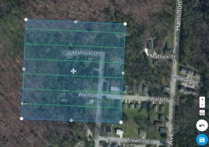
Drone Aerial Mapping Land surveyors have always produced drawings that show the…
This is the Daily Digest from Land Surveyors United Community. Share your Surveying Life with us!
@landsurveyorsu • September 14, 2025, 12:22 am
LAND SURVEYORS UNITED ✊ ɢʟᴏʙᴀʟ sᴜʀᴠᴇʏɪɴɢ ᴄᴏᴍᴍᴜɴɪᴛʏ @LandSurveyorsU
Drone Aerial Mapping Land surveyors have always produced drawings that show the property as if you were looking at it from above the…
@landsurveyorsu • September 10, 2025, 9:36 pm
LAND SURVEYORS UNITED ✊ ɢʟᴏʙᴀʟ sᴜʀᴠᴇʏɪɴɢ ᴄᴏᴍᴍᴜɴɪᴛʏ @LandSurveyorsU
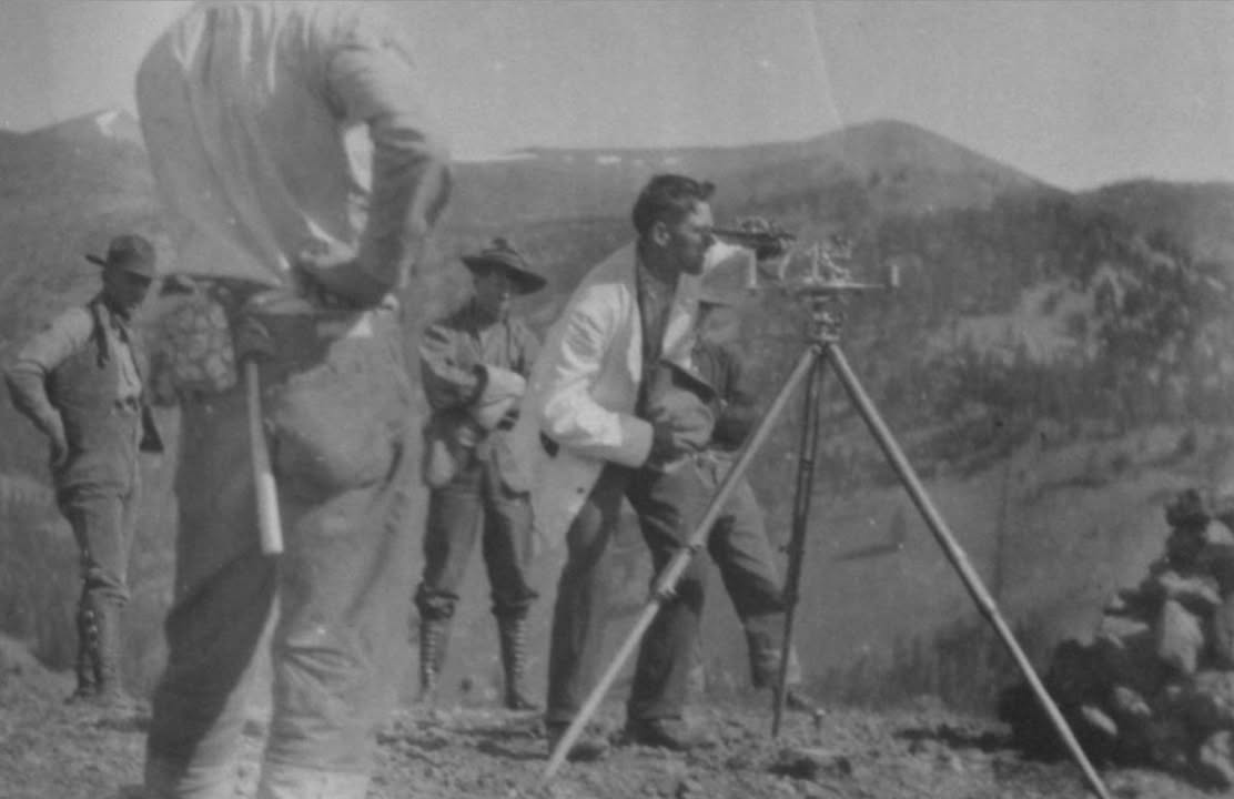
Nice historic shot of a crew working in the mountains - posted by Joe Rohan Nice historic shot of a crew working in the mountains -…
@landsurveyorsu • September 13, 2025, 9:45 pm
LAND SURVEYORS UNITED ✊ ɢʟᴏʙᴀʟ sᴜʀᴠᴇʏɪɴɢ ᴄᴏᴍᴍᴜɴɪᴛʏ @LandSurveyorsU
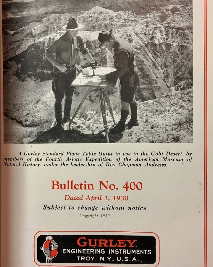
Gurley Engineering Instruments ad from 1930 - shared by Tim Mack Gurley Engineering Instruments ad from 1930 - shared by Tim Mack -…
@landsurveyorsu • September 12, 2025, 9:30 pm
LAND SURVEYORS UNITED ✊ ɢʟᴏʙᴀʟ sᴜʀᴠᴇʏɪɴɢ ᴄᴏᴍᴍᴜɴɪᴛʏ @LandSurveyorsU
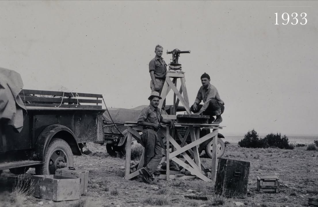
Joe Rohan shared this historic shot from 1933 Joe Rohan shared this historic shot from 1933 - facebook.com/41140237585_13…
Follow Us on Twitter @landsurveyorsU
Follow us on Facebook @landsurveyorsunited
Drone Aerial Mapping Land surveyors have always produced drawings that show the…
![Drone Aerial Mapping Land surveyors have always produced drawings that show the…]() Reviewed by Land Surveyors United
on
9/18/2025 08:09:00 PM
Rating:
Reviewed by Land Surveyors United
on
9/18/2025 08:09:00 PM
Rating:


No comments