
Mapping with Lidar ❤️ #djienterprise #dji #lidar #mapping #surveying #drone -…
This is the Daily Digest from Land Surveyors United Community. Share your Surveying Life with us!
@landsurveyorsu • October 2, 2022, 6:09 am
Lᴀɴᴅ Sᴜʀᴠᴇʏᴏʀs Uɴɪᴛᴇᴅ ✊ Gʟᴏʙᴀʟ Sᴜʀᴠᴇʏɪɴɢ Cᴏᴍᴍᴜɴɪᴛʏ @LandSurveyorsU
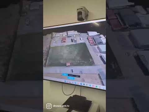
Mapping with Lidar ❤️ #djienterprise #dji #lidar #mapping #surveying #drone - learn.landsurveyorsunited.com/274961/mapping……

@landsurveyorsu • October 1, 2022, 2:55 pm
Lᴀɴᴅ Sᴜʀᴠᴇʏᴏʀs Uɴɪᴛᴇᴅ ✊ Gʟᴏʙᴀʟ Sᴜʀᴠᴇʏɪɴɢ Cᴏᴍᴍᴜɴɪᴛʏ @LandSurveyorsU
Skyhunter VTOL Drone | Surveying Drone | Mapping Solutions |Senseimage Technologies - learn.landsurveyorsunited.com/274371/skyhunt……

@landsurveyorsu • September 30, 2022, 3:30 am
Lᴀɴᴅ Sᴜʀᴠᴇʏᴏʀs Uɴɪᴛᴇᴅ ✊ Gʟᴏʙᴀʟ Sᴜʀᴠᴇʏɪɴɢ Cᴏᴍᴍᴜɴɪᴛʏ @LandSurveyorsU
#Total Station Land surveying, 100Acer Land How to Survey & (Survey Training 8792589823) -…
Follow Us on Twitter @landsurveyorsU
Follow us on Facebook @landsurveyorsunited
Mapping with Lidar ❤️ #djienterprise #dji #lidar #mapping #surveying #drone -…
![Mapping with Lidar ❤️ #djienterprise #dji #lidar #mapping #surveying #drone -…]() Reviewed by Land Surveyors United
on
10/03/2022 07:51:00 PM
Rating:
Reviewed by Land Surveyors United
on
10/03/2022 07:51:00 PM
Rating:


No comments