
Elevation Certificate An elevation certificate is a document prepared by a…
This is the Daily Digest from Land Surveyors United Community. Share your Surveying Life with us!

@landsurveyorsu • May 23, 2024, 12:08 pm
ʟᴀɴᴅ sᴜʀᴠᴇʏᴏʀs ᴜɴɪᴛᴇᴅ ✊ ɢʟᴏʙᴀʟ sᴜʀᴠᴇʏɪɴɢ ᴄᴏᴍᴍᴜɴɪᴛʏ @LandSurveyorsU
Elevation Certificate An elevation certificate is a document prepared by a qualified engineer / surveyor which provides…
@landsurveyorsu • May 23, 2024, 12:11 am
ʟᴀɴᴅ sᴜʀᴠᴇʏᴏʀs ᴜɴɪᴛᴇᴅ ✊ ɢʟᴏʙᴀʟ sᴜʀᴠᴇʏɪɴɢ ᴄᴏᴍᴍᴜɴɪᴛʏ @LandSurveyorsU
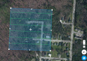
Drone Aerial Mapping Land surveyors have always produced drawings that show the property as if you were looking at it from above the…

@landsurveyorsu • May 21, 2024, 8:04 pm
ʟᴀɴᴅ sᴜʀᴠᴇʏᴏʀs ᴜɴɪᴛᴇᴅ ✊ ɢʟᴏʙᴀʟ sᴜʀᴠᴇʏɪɴɢ ᴄᴏᴍᴍᴜɴɪᴛʏ @LandSurveyorsU
Safety for those who are global #surveyors https://t.co/WV2gxO6bVj
@landsurveyorsu • May 21, 2024, 8:25 pm
ʟᴀɴᴅ sᴜʀᴠᴇʏᴏʀs ᴜɴɪᴛᴇᴅ ✊ ɢʟᴏʙᴀʟ sᴜʀᴠᴇʏɪɴɢ ᴄᴏᴍᴍᴜɴɪᴛʏ @LandSurveyorsU
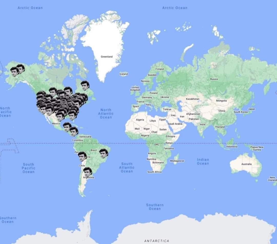
RT @TerribleMaps: Places Johnny Cash has visited based on his song "I’ve Been Everywhere" https://t.co/uEDrcVSOcA

@landsurveyorsu • May 20, 2024, 7:50 pm
ʟᴀɴᴅ sᴜʀᴠᴇʏᴏʀs ᴜɴɪᴛᴇᴅ ✊ ɢʟᴏʙᴀʟ sᴜʀᴠᴇʏɪɴɢ ᴄᴏᴍᴍᴜɴɪᴛʏ @LandSurveyorsU
RT @FSMS_FL: Florida Surveying Jobs: fsms.org/job-postings
#surveyingcareer #surveyingjobs #flsurveying
Follow Us on Twitter @landsurveyorsU
Follow us on Facebook @landsurveyorsunited
Elevation Certificate An elevation certificate is a document prepared by a…
![Elevation Certificate An elevation certificate is a document prepared by a…]() Reviewed by Land Surveyors United
on
5/23/2024 07:48:00 PM
Rating:
Reviewed by Land Surveyors United
on
5/23/2024 07:48:00 PM
Rating:


No comments