


This is the Daily Digest from Land Surveyors United Community. Share your Surveying Life with us!
Land Surveyors Almanac - Land Surveyors United - Global Surveying Community • June 22, 2020, 10:33 pm
Land surveyors have always produced drawings that show the property as if you were looking at it from above the earth. This shows property lines, outline of buildings, fences, encroachments, and…

Land Surveyors Almanac - Land Surveyors United - Global Surveying Community • July 25, 2020, 8:51 pm
Professional measurement and Land surveying has been in use for centuries and is widely known as the second oldest profession humanity has ever conceived. Because humans always had the need to know…

Land Surveyor Community Forum - Land Surveyors United - Global Surveying Community • November 19, 2021, 7:44 pm
This morning I created a printable map of a short Seattle walking route, taking in some of my favorite record shops and cafes.
I created the map using the excellent PDF Map Maker.Which means my map…
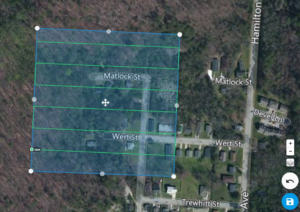
Land Surveyors Almanac - Land Surveyors United - Global Surveying Community • June 22, 2020, 10:33 pm
Land surveyors have always produced drawings that show the property as if you were looking at it from above the earth. This shows property lines, outline of buildings, fences, encroachments, and…
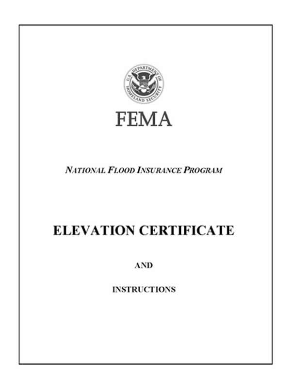
Land Surveyors Almanac - Land Surveyors United - Global Surveying Community • May 9, 2020, 9:28 pm
An elevation certificate is a document prepared by a qualified engineer / surveyor which provides information on: elevation of a building relative to mean high tide. building type. ... additional…
Follow Us on Twitter @landsurveyorsU
Follow us on Facebook @landsurveyorsunited