This is the Daily Digest from Land Surveyors United Community. Share your Surveying Life with us!
@landsurveyorsu • May 6, 2025, 8:10 pm
LAND SURVEYORS UNITED ✊ ɢʟᴏʙᴀʟ sᴜʀᴠᴇʏɪɴɢ ᴄᴏᴍᴍᴜɴɪᴛʏ @LandSurveyorsU
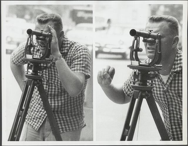
Show us those hand signals! #surveyinghistory https://t.co/9x2ptVbeJw
@landsurveyorsu • May 6, 2025, 8:43 pm
LAND SURVEYORS UNITED ✊ ɢʟᴏʙᴀʟ sᴜʀᴠᴇʏɪɴɢ ᴄᴏᴍᴍᴜɴɪᴛʏ @LandSurveyorsU
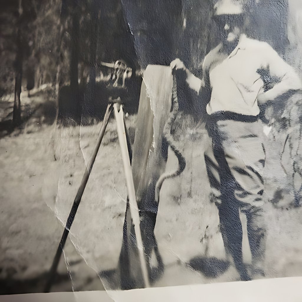
Surveyor with pet rattlesnake 1930 https://t.co/VQ2eopD3bn
@landsurveyorsu • May 5, 2025, 12:32 pm
LAND SURVEYORS UNITED ✊ ɢʟᴏʙᴀʟ sᴜʀᴠᴇʏɪɴɢ ᴄᴏᴍᴍᴜɴɪᴛʏ @LandSurveyorsU
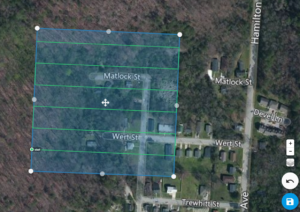
Drone Aerial Mapping Land surveyors have always produced drawings that show the property as if you were looking at it from above the…
Follow Us on Twitter @landsurveyorsU
Follow us on Facebook @landsurveyorsunited